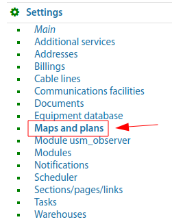
Settings - Maps and plans
"Settings" => "Maps and plans"
In ERP "UserSide" it is possible to work with an unlimited number of Coverage maps. In this case only one map can be a global map with geo-reference, and all other maps can be only map-files (plans/charts, etc.).
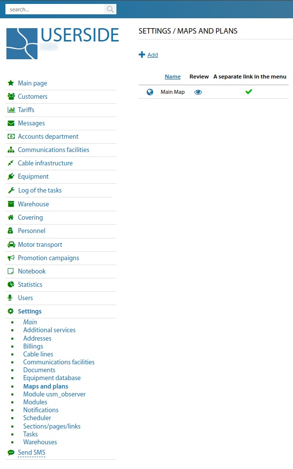
If necessary to add a map (underlay) as an image without geo-referencing, you can use the existing functionality. It can be convenient in regions where there is no accurate detailing of maps from existing geo-services used in the system. But separately there is an image-underlay that can be used without any georeferencing.
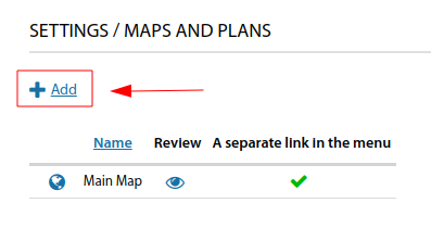
To add your own map you should use the corresponding button - "Add":
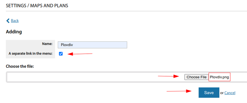
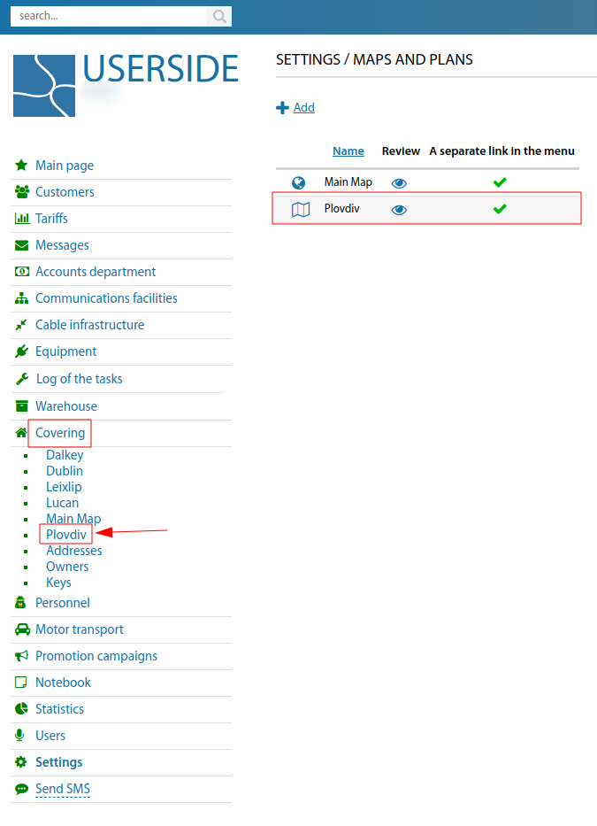
In the form that appears, you should write the "Name" of the map. Tick the "A separate link in the menu" box (if necessary). Upload the required map image (underlay) and save.
The created map will have the following view. A separate link in the menu, will be displayed in the "Covering" section.
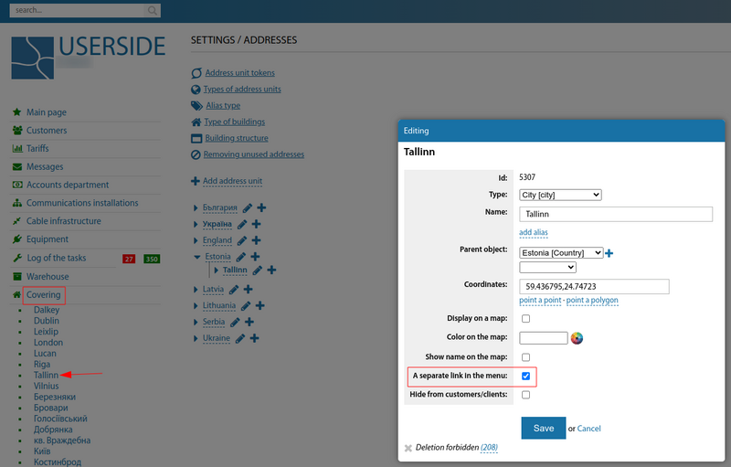
To add an address unit to the left side menu (of the main map, with geo-referencing), in the "Covering" section it is necessary - in the "Settings - Addresses" section in the card of the required address unit to tick "A separate link in the menu".
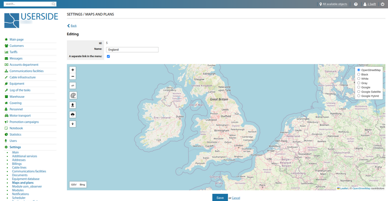
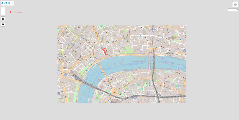
Existing maps have the following settings. It should be noted that the map type can be switched using the top right corner stack button:
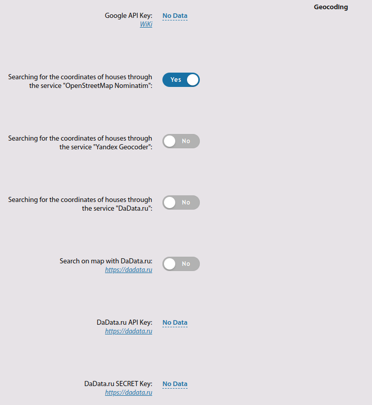
The important settings for coverage maps are Geocoding. You need to navigate to "Settings" => "Main" => "Covering"
Starting from version 3.19:
Added scaling option for map plans from static files
The section "Settings - Maps" has been renamed to "Settings - Maps and plans"
