Objects on the map: различия между версиями
Нет описания правки |
|||
| Строка 1: | Строка 1: | ||
[[Objects_on_the_map|en]] | [[Объекты_на_карте|ru]] | [[Objects_on_the_map|en]] | [[Объекты_на_карте|ru]] | ||
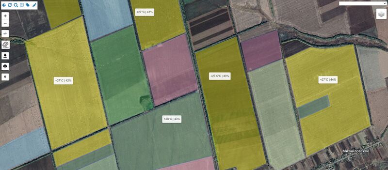
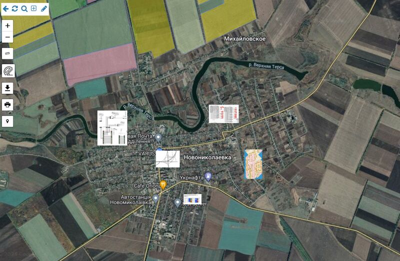
In addition to system objects, you can display arbitrary polygons, inscriptions, images/photographs on the map. | |||
Each of these objects can be linked to an address and thus the access of employees can be differentiated. | |||
Polygons also contain statistics of customers, buildings and communication installations they cover. | |||
[[File: Field 011.jpg|thumb|800px|center]] | |||
[[File: Map image.jpg|thumb|800px|center]] | |||
Текущая версия от 10:55, 1 апреля 2024
In addition to system objects, you can display arbitrary polygons, inscriptions, images/photographs on the map.
Each of these objects can be linked to an address and thus the access of employees can be differentiated.
Polygons also contain statistics of customers, buildings and communication installations they cover.

